This version contains the following updates
- Updated Ordering of Preplot and Perimeter in Displays
- Updated Corridor Outputs for Site Survey Projects
- Added Option to Remove Corridor Lines from Line Plan
This version contains the following updates
This version contains the following updates
This version adds the ability to show the data affected by source or receiver edits.
A new option has also been added to export and import edits from a file.
This version updates the Shot Edit functionality so all edits are applied for real-time binning.
The update also adds in export options to output the configured edits to Excel.
This version contains the following updates
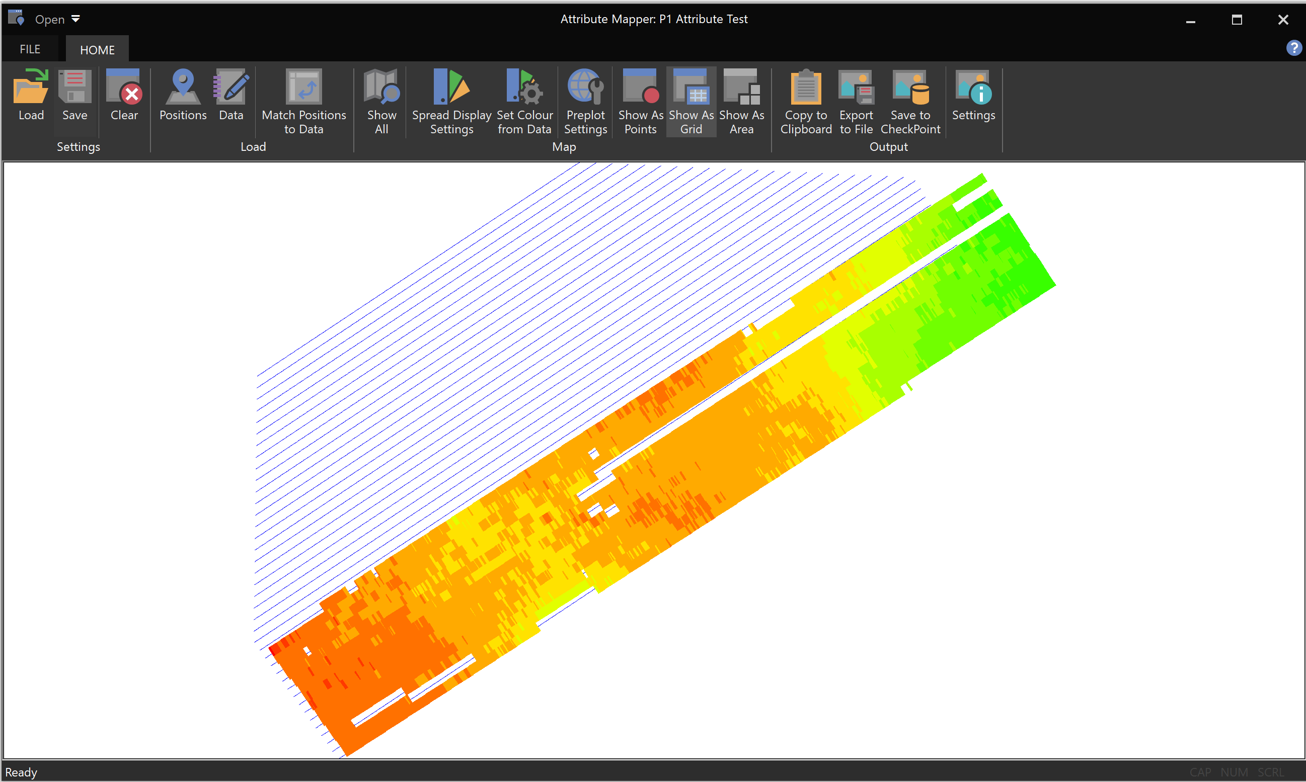
The P1 mapping tool has been updated to generate spatial maps using the loaded P1 attributes
This version updates the P1 attribute generation process to allow for a range of shots to be ignored.
This version contains the following updates
This version contains two specific reporting outputs for a Geotechnical survey.
This version updates the current viewer application, so that the data can be filtered to show only the data during acquisition. There are also two new chart types.
This version updates the new map GeoTiff output to work for Coverage bin types