CoverPoint is an advanced system for analysing marine survey coverage
- Coverage and Binning of Marine Surveys
- Easy to Setup, Configure and Use.
- Graphical Displays to aid Configuration and Setup
- Generation of Reports and GIS Outputs.
- Powerful Information Displays.
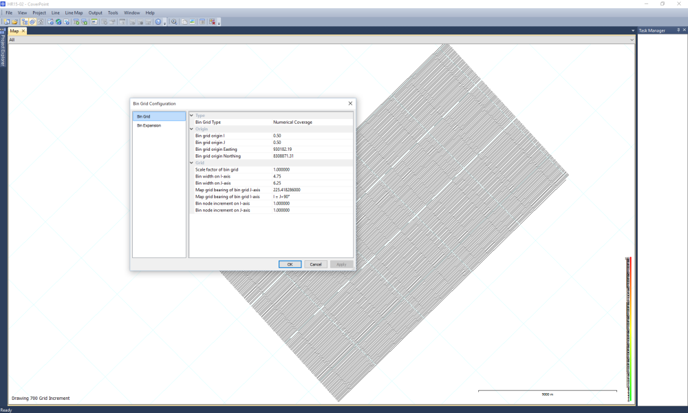
Easy Data Entry
Data Entry is designed to be simple and efficient.
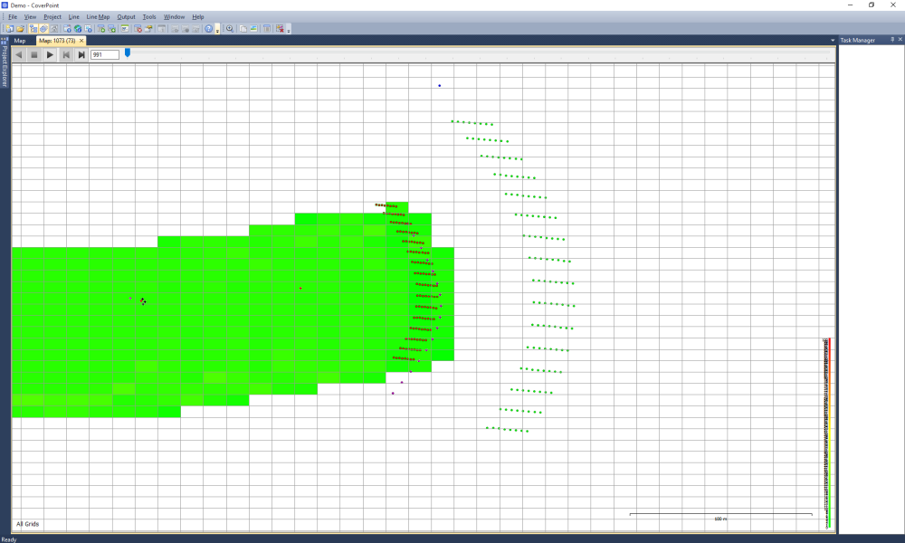
The Entered Data is shown on a map to aid the setup process, and the system also allows for the mapping of navigation data to aid data analysis
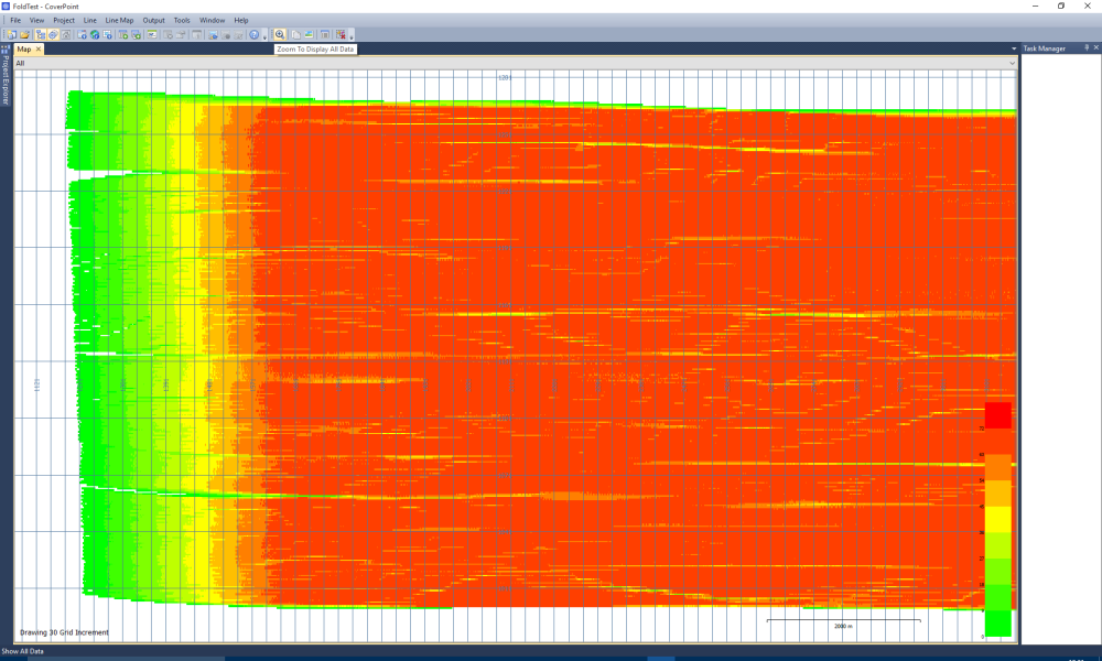
Flexible Coverage Generation
The CoverPoint software can bin data using full offset and azimuth-based fold generation, or by a simpler hits-per-bin coverage computation.
Coverage can be generated from two distinct sets of data and compared against each other
Advanced Data Analysis
Data can be colour coded and presented in a number of ways to aid viewing.
The resulting coverage data can be exported as a geo-referenced image file for use in GIS systems