Release Notes
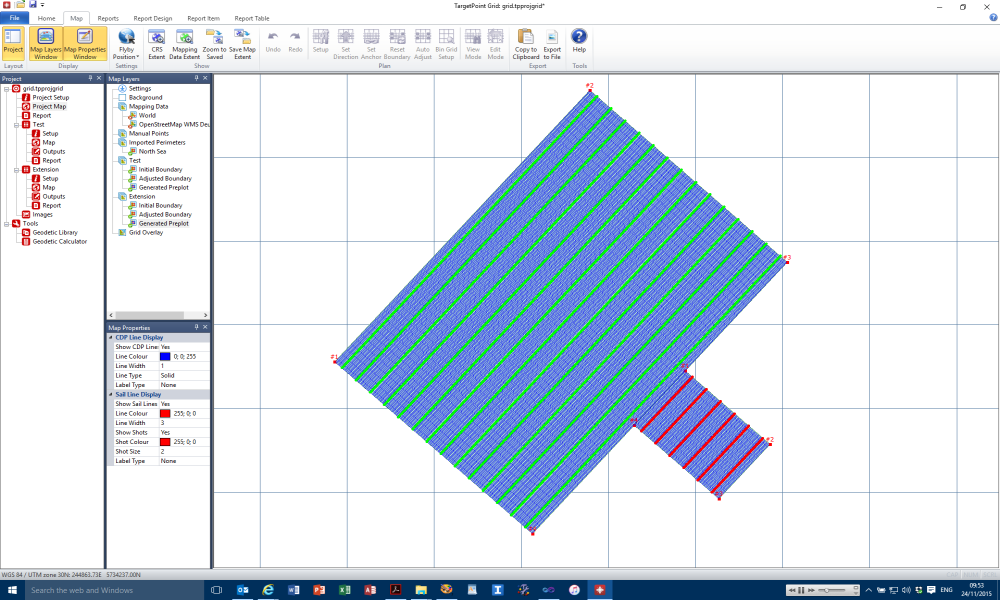
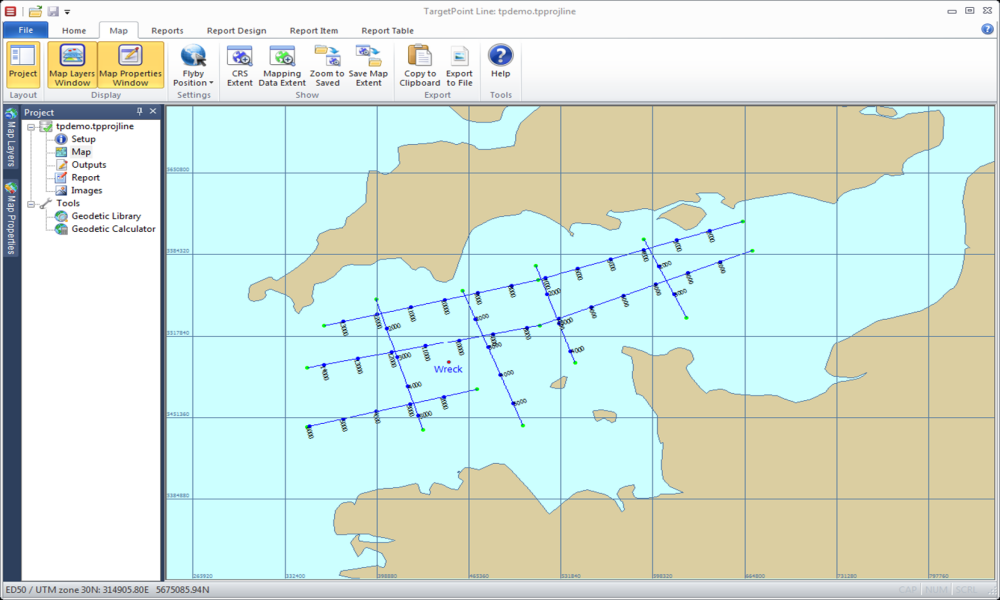
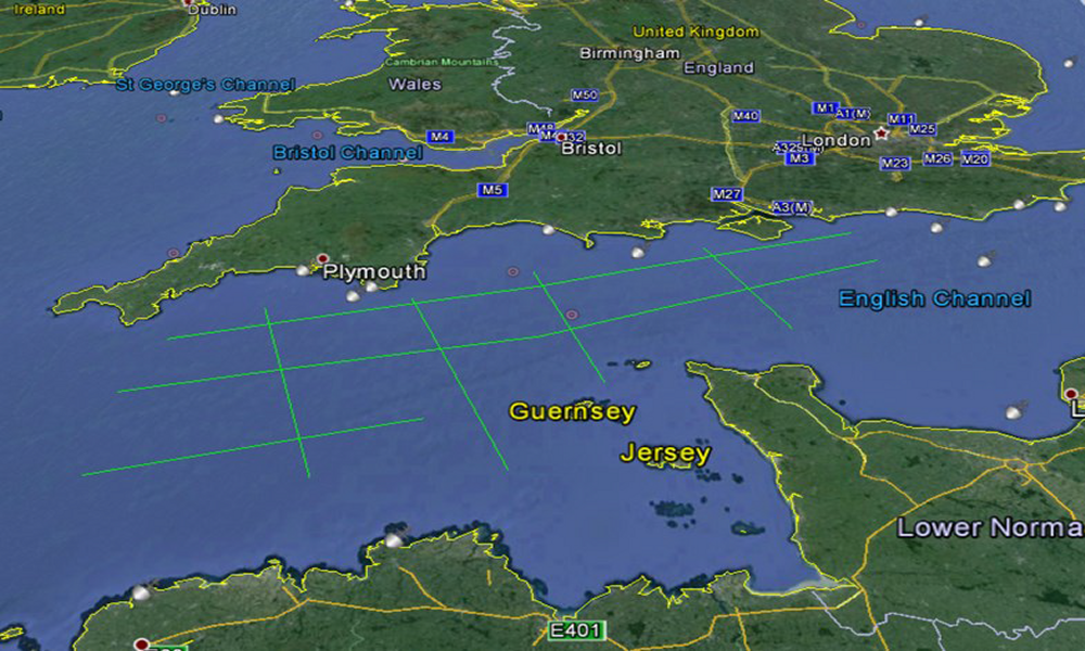
TargetPoint is a system for generating preplots for 2D and 3D surveys.
- Generation of preplots for 2D and 3D surveys.
- Easy to Setup, Configure and Use.
- Generation of Fully Customisable Reports.
- Integrated Geodetic Utilities.
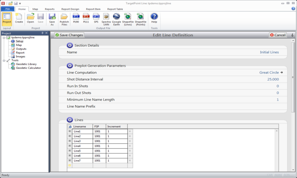
Easy Data Entry
Data Entry is designed to be simple and efficient.
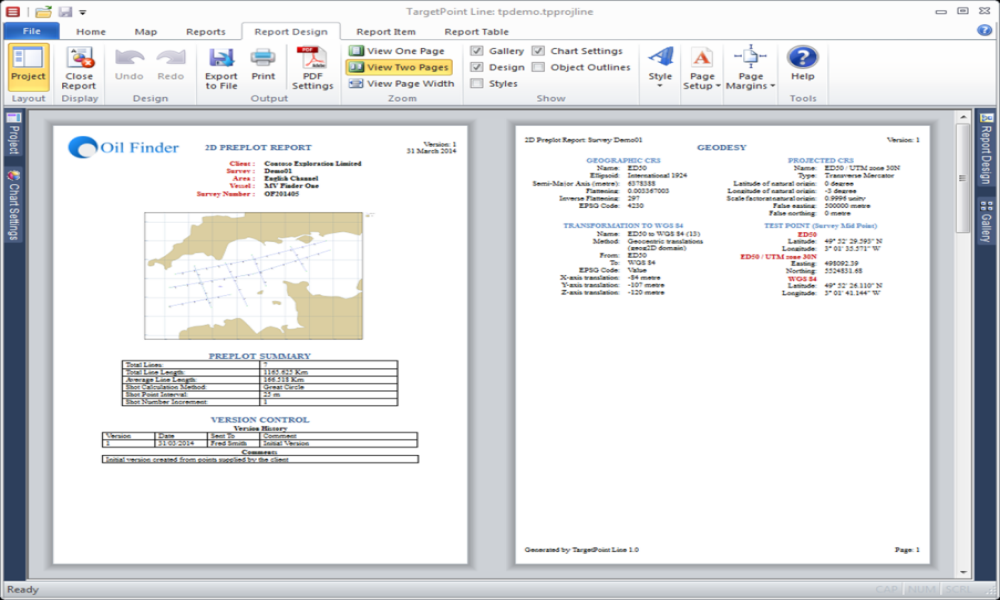
Flexible Report Generation
The TargetPoint Reporting module extracts the data entered by the user and turns this into a bespoke report which can be printed or exported in PDF, Word or Excel formats.
The reports are customisable, with the user able to adjust layout and presentation, as well as to build new report layouts from scratch.
All common report elements, such as text, maps and images are available.
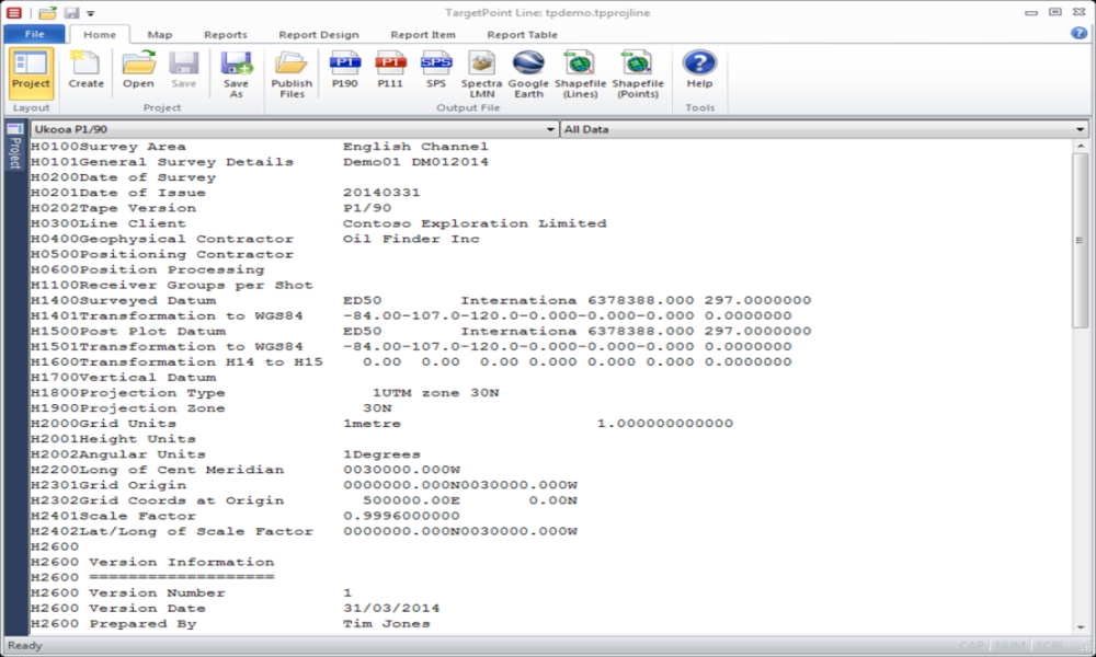
Standard Data Outputs
TargetPoint generates outputs in all common industry formats, including UKOOA P1/90, SEG SPS, OGP P1/11 and P6/11, plus common GIS output formats